From the Holzegg to Einsiedeln
22.1 kilometres and seven and a half hours: this long stage leads from the Holzegg at the foot of the Mythen across to Einsiedeln and loses considerably more height than it gains. A full-day tour for hikers with stamina and a sure step.
The route from above
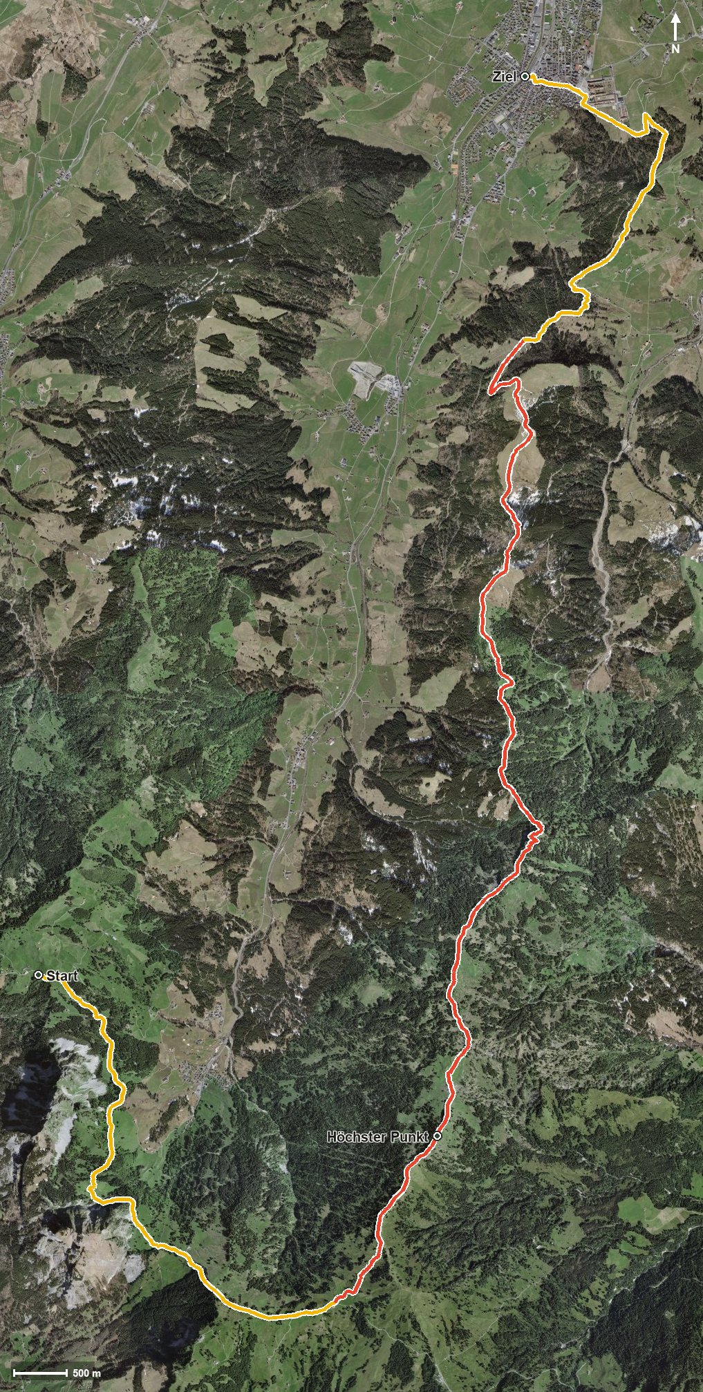
Open interactive map (zoom and pan)
Elevation profile
Route description
The starting point is the Holzegg at 1,403 metres, reached by cable car from Brunni in the Alptal. The route first climbs gently in two short sections, 88 metres between kilometres 3.3 and 4.6 and a further 167 by kilometre 7.6, and reaches the highest point at kilometre 7.8 at 1,643 metres.
After that the descent clearly dominates: 1,431 metres downhill in total, against only 911 metres of ascent. The finish is Einsiedeln at 885 metres, so the stage ends around 520 metres lower than it began.
Some sections require a sure step and sturdy footwear. The length of 22.1 kilometres also calls for realistic time planning, especially since the long descent takes its toll on the knees.
The route is part of the Schwyzer Höhenweg, a regional long-distance route. It crosses the municipal boundary from Schwyz into Einsiedeln.
Grading
Good to know
Getting there / public transport
By public transport into the Alptal to Brunni and on by cable car to the Holzegg. Current timetable at sbb.ch.
Food and drink
No refreshment stop is recorded along the route. Take provisions; there are restaurants at the Holzegg at the start and in Einsiedeln at the finish.
Best time of year
Recommended: May, Jun, Jul, Aug, Sep, Oct