From Einsiedeln over the Haggenegg to Schwyz
From the monastery town of Einsiedeln over a mountain pass and down to Schwyz: this 17.6-kilometre route gains 539 metres and loses 894, so it ends considerably lower than it begins. A classic day tour without technical difficulties.
The route from above
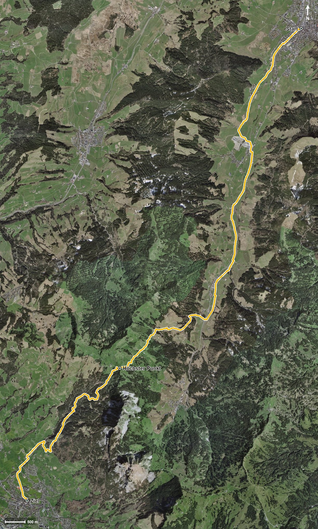
Open interactive map (zoom and pan)
Elevation profile
Route description
The starting point is Einsiedeln station at 881 metres. The path leads via Trachslau into the Alptal, crossing the Aubach and the Hürlisbach. From kilometre 3.8 the only climb of the tour worth mentioning begins with 475 metres of ascent.
Via Eigen, Gribsch and Schnürlismatt the route reaches Alpthal at kilometre 7.5 and then climbs on through the Malosentobel. At kilometre 11.7 the highest point is reached at 1,414 metres, immediately followed by the Haggenegg pass at kilometre 11.8.
The rest of the route leads, after the Nietenbach, down to Schwyz, reached at kilometre 16.1. The steepest passage lies at kilometre 8.8 and reaches around 24 per cent. Technically the hike makes no particular demands.
On the Haggenegg the mountain inn invites you to a break; it is the only refreshment stop recorded along the route. The tour is recommended from April to October. It is part of the ViaJacobi, the Swiss Way of St James, and passes through the municipalities of Einsiedeln, Alpthal and Schwyz.
Grading
Good to know
Getting there / public transport
By public transport to Einsiedeln; the hike starts at the station. Current timetable at sbb.ch.
Food and drink
Berggasthaus Haggenegg at kilometre 11.8. Further food and drink are available in Einsiedeln at the start and in Schwyz at the finish.
Best time of year
Recommended: Apr, May, Jun, Jul, Aug, Sep, Oct