Loop from the Rotenflue over the Ibergeregg
An undulating high-level loop without a single big climb: 11.8 kilometres, 598 metres of ascent spread over four sections and a maximum gradient of 18 per cent. The route stays between 1,286 and 1,656 metres throughout.
The route from above
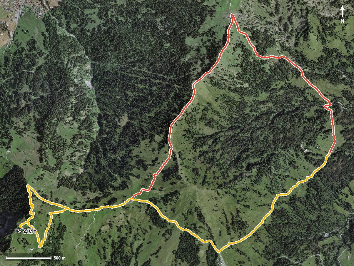
Open interactive map (zoom and pan)
Elevation profile
Route description
The starting point is the Rotenflue top station at 1,562 metres. The path crosses the Stäglerenegg right at the beginning and the Müsliegg at kilometre 1.6, and runs high above the Alptal and the Zwäckentobel.
Via the Wüestwaldtobel the route climbs 142 metres and, after the Erlentobel and the Furggelenlöcher, reaches the highest point at kilometre 4.1 at 1,656 metres.
The second part leads, after the Fallenbach, in a long drawn-out climb of 170 metres via the Hintereggbrunnen to the Ibergeregg at kilometre 8.7. Via Zwäcken and the Chloterlibach the loop closes back at the starting point.
Because the metres of ascent are spread over four gentle sections, the tour is easy to break up despite its length. Some sections call for a sure step. The Restaurant Gipfelstubli stands at the starting point; along the route itself no further refreshment stop is recorded. The tour is recommended from May to October.
Grading
Good to know
Getting there / public transport
By public transport to Rickenbach, then the Rotenflue cable car to the top station. Current timetable at sbb.ch.
Food and drink
Restaurant Gipfelstubli at the start and finish. No further refreshment stop is recorded along the route, so take provisions.
Best time of year
Recommended: May, Jun, Jul, Aug, Sep, Oct