On the pilgrims' way from Rapperswil to Einsiedeln
The classic approach to the monastery village: 17 kilometres from Rapperswil at 408 metres via Pfäffikon and St. Meinrad up to Einsiedeln at 880 metres. 706 metres of ascent, five hours and a season that runs from March to November.
The route from above
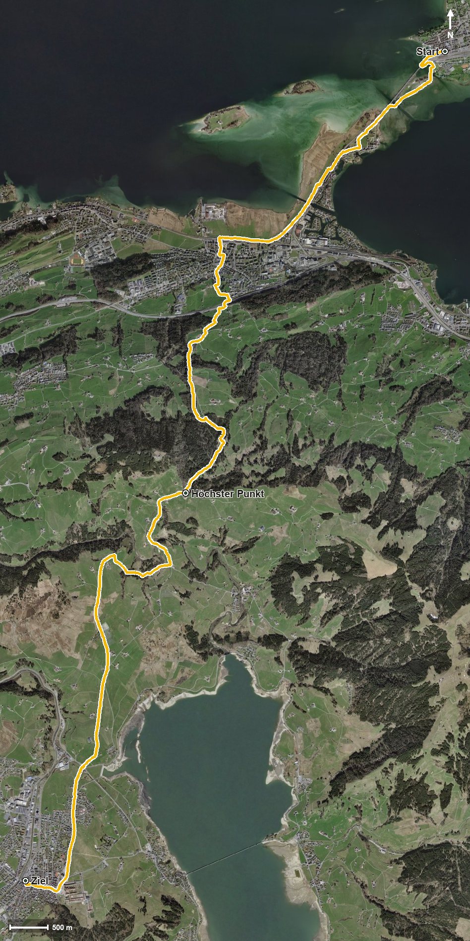
Open interactive map (zoom and pan)
Elevation profile
Route description
The starting point is Rapperswil station. The first kilometres run flat across the Seedamm to Pfäffikon, reached at kilometre 3.4. Only from kilometre 4.4 does the real climb of 529 metres begin.
The path crosses the Staldenbach, the Sumelenbach and the Giessenbach and climbs steadily; the steepest passage is 23 per cent at kilometre 6.1. At kilometre 9.4 St. Meinrad is reached, where the inn of the same name invites you to a break. Shortly afterwards, at kilometre 9.5, lies the highest point at 951 metres.
Via the Waldweg and the Chummenweid the route descends and reaches Einsiedeln at kilometre 14.3. After a last short climb of 75 metres the hike ends at the monastery after crossing the Wänibach.
Technically the route makes no particular demands, but the 17 kilometres call for a certain basic fitness. Because the path stays comparatively low, it can be walked over a long season from March to November. The route runs from Rapperswil via Freienbach to Einsiedeln.
Grading
Good to know
Getting there / public transport
By public transport to Rapperswil SG; the hike starts right at the station. Current timetable at sbb.ch.
Food and drink
Gasthaus St. Meinrad at kilometre 9.4. Further food and drink are available in Rapperswil and Pfäffikon and in Einsiedeln at the finish.
Best time of year
Recommended: Mar, Apr, May, Jun, Jul, Aug, Sep, Oct, Nov