From Schindellegi over the Etzel to Einsiedeln
17.5 kilometres through the hill country between Schindellegi and Einsiedeln: this route gains 416 metres but stays below 1,001 metres throughout. With a maximum gradient of 17 per cent it is technically undemanding.
The route from above
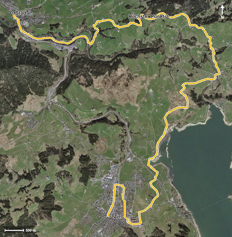
Open interactive map (zoom and pan)
Elevation profile
Route description
The starting point is Schindellegi station at 750 metres. After just 400 metres the path crosses the Sihl, and from kilometre 1.9 the main climb begins with 212 metres of ascent.
Via Wäni, the Loch and Büel the route continues and reaches the highest point at kilometre 6.0 at 1,001 metres. After the Giessenbach a second climb of 66 metres follows at Jureden and Egg.
The final part descends to Einsiedeln, reached at kilometre 12.5. The hike ends at 881 metres, where the Wänibach and the Alp meet. The elevation range is 251 metres.
The steepest passage lies at kilometre 4.0 and reaches around 17 per cent. Technically the hike makes no particular demands, but its length calls for sensible time planning. It is recommended from April to October.
Grading
Good to know
Getting there / public transport
By public transport to Schindellegi-Feusisberg; the hike starts at the station. Current timetable at sbb.ch.
Food and drink
No refreshment stop is recorded along the route. Food and drink are available in Schindellegi at the start and in Einsiedeln at the finish.
Best time of year
Recommended: Apr, May, Jun, Jul, Aug, Sep, Oct