A short loop from the Etzelpass over the Etzel
A compact loop of 2.8 kilometres from the Etzelpass at 952 metres: 157 metres of ascent, one hour and a climb to 1,097 metres. The shorter of the two Etzel loops in this collection.
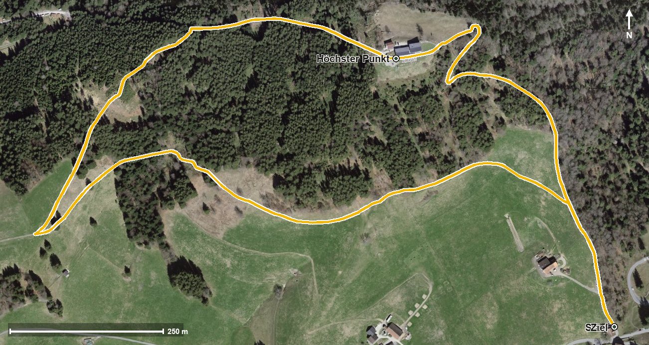
The route from above
Open interactive map (zoom and pan)
Elevation profile
Route description
The starting point is the Etzelpass at St. Meinrad. From kilometre 1.0 the path climbs 112 metres and reaches the highest point at kilometre 2.0 at 1,097 metres. Shortly afterwards, at kilometre 2.1, the route passes the Etzel itself.
The steepest passage lies at kilometre 1.1 and reaches around 15 per cent; the elevation range is 145 metres. Technically the hike makes no particular demands.
The Gasthaus St. Meinrad stands at the start and finish. The loop is recommended from May to October and crosses the municipal boundary from Feusisberg into Einsiedeln.
Grading
Good to know
Getting there / public transport
By public transport to the Etzelpass. Current timetable at sbb.ch.
Food and drink
Gasthaus St. Meinrad at the start and finish of the loop.
Best time of year
Recommended: May, Jun, Jul, Aug, Sep, Oct