High-level loop from the Roggenloch on the Pragel road
A loop in the karst country above the Bisistal: 13.4 kilometres from the Roggenloch on the Pragel road at 1,525 metres, up to 2,145 metres and back. 888 metres of ascent, five hours and an elevation range of 620 metres.
The route from above
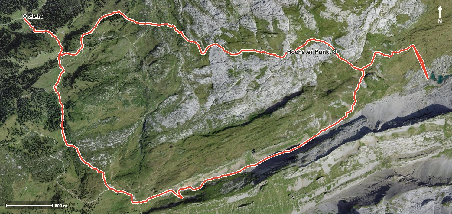
Open interactive map (zoom and pan)
Elevation profile
Route description
The starting point is the Roggenloch on the Pragel road, where the Alpwirtschaft Unter Roggenloch stands right at the start. The climb begins at once and gains around 588 metres by kilometre 3.8, on the way above the Bisistal and the Charental.
The steepest passage lies at kilometre 2.7 and reaches around 29 per cent. At kilometre 4.5 the highest point of the loop is reached at 2,145 metres, from where the view opens towards the Rossmatter Tal and the Klöntal.
After a short descent, another push of 86 metres follows from kilometre 6.4. Via the Gross Mälchtal the path descends back to the starting point.
Several sections require a sure step, a head for heights and sturdy footwear. Because of the altitude the loop can be walked from June to October. No refreshment stop is recorded on the way, so plenty of provisions and water belong in the rucksack.
Grading
Good to know
Getting there / public transport
Travel into the Muotatal and on over the Pragel road to the Roggenloch. The road is open seasonally; current timetable at sbb.ch.
Food and drink
Alpwirtschaft Unter Roggenloch at the start and finish. No refreshment stop is recorded on the way.
Best time of year
Recommended: Jun, Jul, Aug, Sep, Oct