Mountain loop from Sahli high above the Glattalp
897 metres of ascent in a single climb: this loop starts at Sahli in the Bisistal at 1,154 metres and climbs to 2,060 metres. 11.8 kilometres, five hours and an elevation range of 914 metres.
The route from above
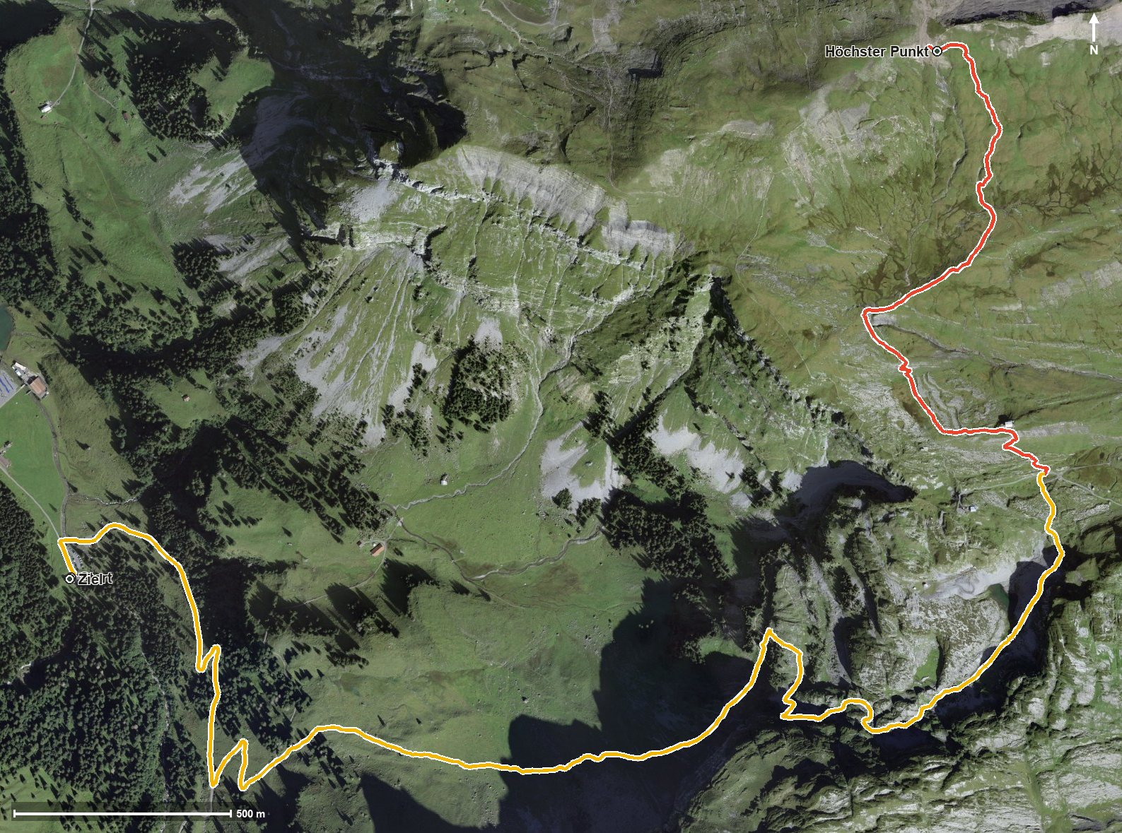
Open interactive map (zoom and pan)
Elevation profile
Route description
The starting point is Sahli in the Bisistal, where several stops and the valley station of the Glattalp cable car are located. Right at the beginning the path crosses the Ruosalper Bach, the Muota and the Gwalpetenbach, and shortly afterwards the Milchbüelenbach.
The climb begins at once and continues until kilometre 5.9. Via the Tröli and the Chrümpfen at kilometre 2.9 the route gains height steadily; the steepest passage is 30 per cent at kilometre 2.3.
At kilometre 4.5 the SAC Glattalp hut stands beside the path, the only refreshment stop recorded. At kilometre 5.9 the highest point of the loop is reached at 2,060 metres, after which the path leads back to the valley.
Several sections require a sure step and sturdy footwear, and the 965 metres of ascent call for good fitness. Because of the altitude the loop can be walked from May to September. It is worth checking the hut's opening times in advance.
Grading
Good to know
Getting there / public transport
By public transport into the Bisistal to the Sahli stop by the valley station of the Glattalp cable car. Current timetable at sbb.ch.
Food and drink
Glattalphütte SAC at kilometre 4.5, the only refreshment stop recorded on the loop.
Best time of year
Recommended: May, Jun, Jul, Aug, Sep