From Rigi Staffel to Rigi Scheidegg
A high-level path open all year round: 7.9 kilometres from Rigi Staffel to Rigi Scheidegg, with only 220 metres of ascent and a maximum gradient of eight per cent. The route stays between 1,430 and 1,640 metres throughout.
The route from above
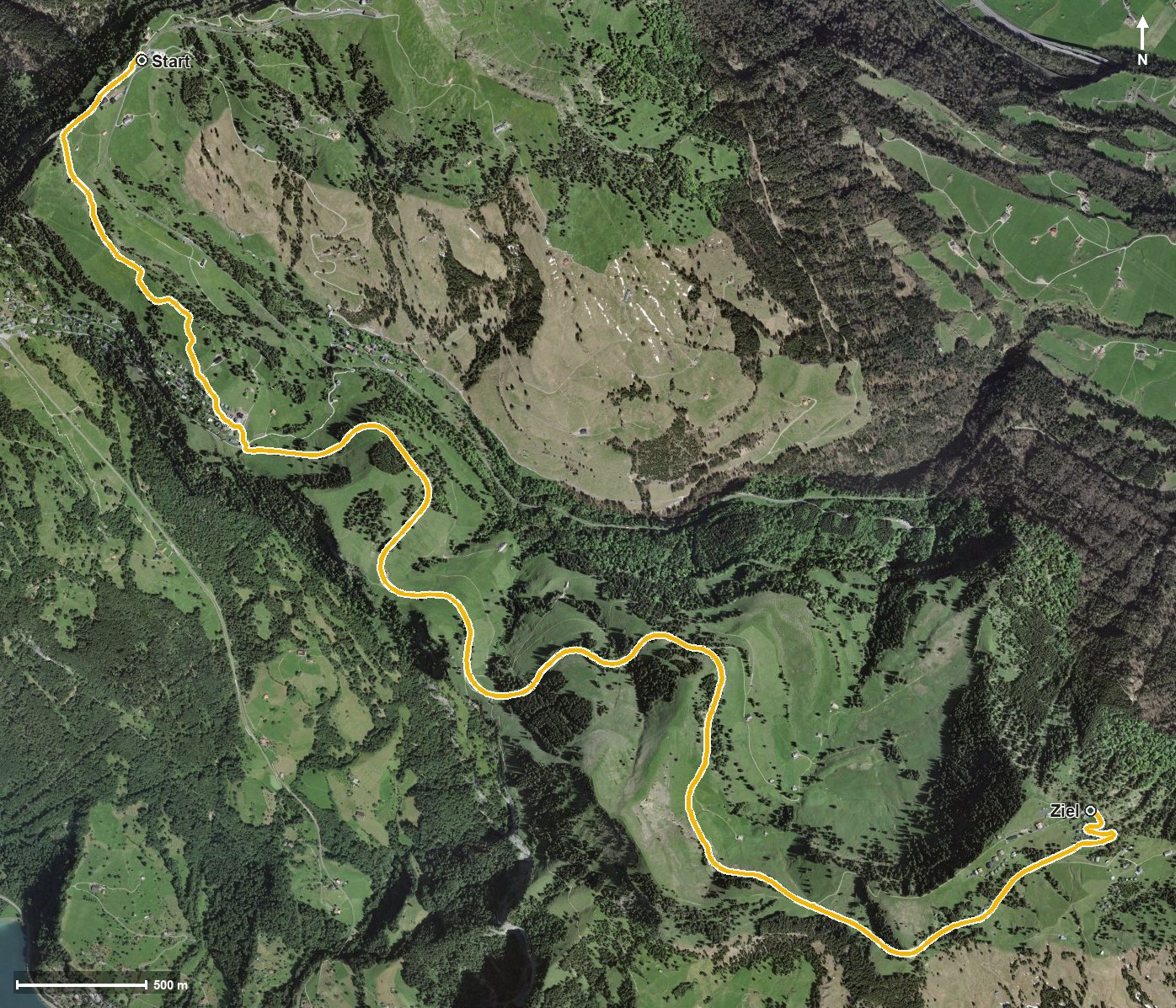
Open interactive map (zoom and pan)
Elevation profile
Route description
The starting point is Rigi Staffel at 1,603 metres. The path leads via First at kilometre 1.5 to Rigi Kaltbad and at first drops gently to 1,430 metres, the lowest point of the route.
Via Rigi Unterstetten at kilometre 3.8 the route crosses the Dossenbach, the Rotenfluobach and the Altdorfbach. From kilometre 3.3 it climbs steadily by 207 metres, reaching Rigi Scheidegg at kilometre 7.2 and Rigi Burggeist at kilometre 7.7.
With an elevation range of 210 metres the profile is exceptionally even. Technically the hike makes no particular demands. Because the route is open all year, it is also suitable for outings outside the main season.
At the start, the Restaurant Bahnhöfli and the Restaurant Lok 7 invite you to a break. Both ends are served by a mountain railway, which makes planning easy. The route crosses the municipal boundary from Arth into Gersau.
Grading
Good to know
Getting there / public transport
By public transport to Arth-Goldau or Vitznau and on by the Rigi railway to Rigi Staffel. Current timetable at sbb.ch.
Food and drink
Restaurant Bahnhöfli and Restaurant Lok 7 at the start in Rigi Staffel.
Best time of year
Recommended: Jan, Feb, Mar, Apr, May, Jun, Jul, Aug, Sep, Oct, Nov, Dec