From Rigi First to Rigi Scheidegg
A gently rising high-level path: 6.4 kilometres from the Wölfertschen-Rigi First station at 1,469 metres across to Rigi Scheidegg. With 283 metres of ascent and a maximum gradient of eight per cent the route is thoroughly leisurely.
The route from above
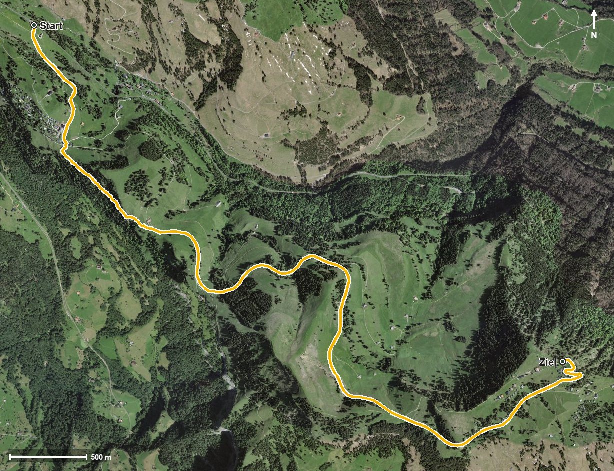
Open interactive map (zoom and pan)
Elevation profile
Route description
The starting point is the Wölfertschen-Rigi First station. The path passes First at kilometre 0.8 and first drops gently to 1,423 metres, the lowest point.
From kilometre 2.3 at Rigi Unterstetten the climb of 200 metres begins, spread over the remaining four kilometres. On the way the route crosses the Dossenbach, the Rotenfluobach and the Altdorfbach and passes over the Hinder Dosse saddle at kilometre 4.7.
At kilometre 5.4 Rigi Scheidegg is reached; the hike ends after the Löcher at 1,642 metres. The elevation range is a mere 219 metres.
Technically the hike makes no particular demands. As both ends are served by a mountain railway, the tour is easy to plan. It is recommended from May to October.
Grading
Good to know
Getting there / public transport
By public transport to Goldau or Vitznau and on by the Rigi railway to Wölfertschen-First. Current timetable at sbb.ch.
Food and drink
No refreshment stop is recorded along the route. Food and drink are available at Rigi Scheidegg at the finish.
Best time of year
Recommended: May, Jun, Jul, Aug, Sep, Oct