A year-round high-level path from Rigi Scheidegg to Unterstetten
5.8 kilometres without a single metre of ascent: this path leads from Rigi Scheidegg at 1,641 metres on a gentle descent. According to the accessibility data it is open all year round, which also makes it interesting for winter.
The route from above
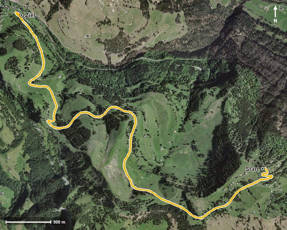
Open interactive map (zoom and pan)
Elevation profile
Route description
The starting point is Rigi Scheidegg, which is also the highest point of the route. The path leads through the Löcher and passes Rigi Burggeist after just 300 metres.
On the way the route crosses the Altdorfbach, the Rotenfluobach and the Dossenbach and reaches Rigi Unterstetten at kilometre 4.0. The walk ends at 1,318 metres; the elevation range is 323 metres.
There are no climbs worth mentioning; the descent is spread evenly over the whole route. Technically the walk makes no particular demands.
Because the path is open all year round, it is also suitable outside the summer season. In snow, though, winter equipment and a look at current conditions are part of the plan. The route crosses the municipal boundary from Gersau into Arth.
Grading
Good to know
Getting there / public transport
By public transport to Goldau, then the cable car from Kräbel up to Rigi Scheidegg. Current timetable at sbb.ch.
Food and drink
No refreshment stop is recorded along the route. Food and drink are available at Rigi Scheidegg at the starting point.
Best time of year
Recommended: Jan, Feb, Mar, Apr, May, Jun, Jul, Aug, Sep, Oct, Nov, Dec