From Rigi Scheidegg down to Kräbel
899 metres of descent and practically no ascent: these 10.8 kilometres lead from Rigi Scheidegg at 1,641 metres down to Kräbel at 763 metres. A route for anyone who would rather gain the height by railway and walk down.
The route from above
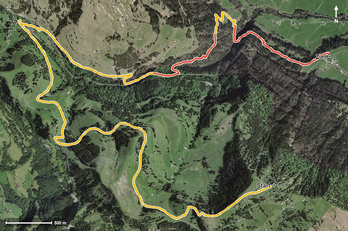
Open interactive map (zoom and pan)
Elevation profile
Route description
The starting point is Rigi Scheidegg; right at the beginning, at kilometre 0.1, lies the highest point at 1,647 metres. The path leads through the Löcher, crosses the Hinder Dosse saddle at kilometre 1.3 and crosses the Rotenfluobach.
Via Rigi Unterstetten at kilometre 3.8 and the Dossenbach the route descends steadily and reaches the Rigiaa at kilometre 5.5. There the Hotel-Restaurant zum Goldenen Hirschen and the Sandhütte offer two places to stop.
The final part leads via Dächli at kilometre 8.8, where the mountain inn of the same name invites you to a break, down to Kräbel. There are 884 metres between the highest and lowest points.
There are no counter-climbs worth mentioning. Some sections call for a sure step, and because of the continuous descent, walking poles are a relief for the knees. The tour is recommended from June to October.
Grading
Good to know
Getting there / public transport
By public transport to Goldau, then the cable car from Kräbel up to Rigi Scheidegg. Current timetable at sbb.ch.
Food and drink
Hotel-Restaurant zum Goldenen Hirschen at kilometre 5.5, Sandhütte at kilometre 5.8 and Berggasthaus Rigi Dächli at kilometre 8.8.
Best time of year
Recommended: Jun, Jul, Aug, Sep, Oct