From Schwarzenbach over the Wasserbergfirst to Muotathal
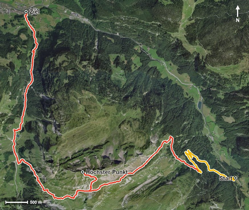
1,713 metres of difference between the lowest and highest points: this tour leads from Schwarzenbach in the Bisistal at 954 metres up to the Wasserbergfirst at 2,339 metres and down to Muotathal. 14.6 kilometres, seven and a half hours and one passage with a 40 per cent gradient.
The route from above
Open interactive map (zoom and pan)
Elevation profile
Route description
The starting point is Schwarzenbach in the Bisistal. The climb begins at once and gains around 1,074 metres by kilometre 6.0, passing the Fadtöbeli, the Gigenbach and the Untere Träsmeren on the way.
From kilometre 6.2 the final climb follows with 264 metres of ascent over the Sunniger First. The steepest passage lies at kilometre 6.7 and reaches around 40 per cent. At kilometre 7.2 the summit of the Wasserbergfirst is reached at 2,339 metres, the highest point of the tour.
The long descent leads down through the Hürital, over the Mattentobel and the Stägenplänggeli, crosses the Hüribach at kilometre 10.8 and reaches Muotathal at 626 metres via Hinterthal at kilometre 14.6.
Several sections require a sure step and a head for heights; sturdy footwear is essential. Because of the altitude the tour can only be walked from July to October. At the start the Restaurant Schwarzenbach offers refreshment.
Grading
Good to know
Getting there / public transport
By public transport into the Bisistal to the stop «Bisisthal, Schwarzenbach». Current timetable at sbb.ch.
Food and drink
Restaurant Schwarzenbach at the start. No refreshment stop is recorded along the way, so take provisions for the whole day.
Best time of year
Recommended: Jul, Aug, Sep, Oct