From Schwarzenbach in the Bisistal up to 2,571 metres
1,541 metres of ascent in a single, uninterrupted climb: this loop leads from the Gasthaus Schwarzenbach in the Bisistal at 955 metres up to 2,571 metres. 16.3 kilometres, eight hours and an elevation range of 1,617 metres; according to the accessibility data, from November to April.
The route from above
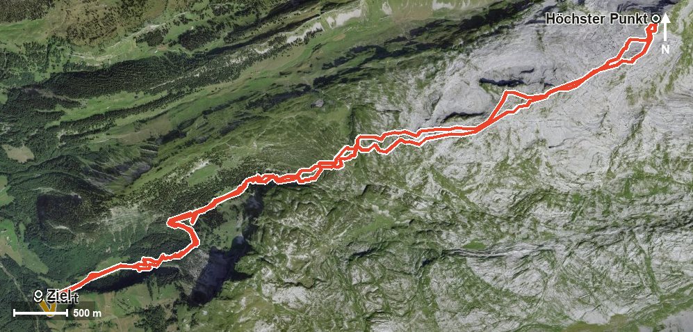
Open interactive map (zoom and pan)
Elevation profile
Route description
The starting point is Schwarzenbach at the head of the Bisistal, where the Restaurant Schwarzenbach stands right at the start and the path crosses the Muota. The climb begins at once and does not let up until kilometre 8.2.
Via the Stägen at kilometre 2.6, the Chlus and the Rätschtal the route gains height steadily. The steepest passage comes shortly before the top at kilometre 7.7 and reaches around 35 per cent; there the view opens towards the Rossmatter Tal and the Klöntal.
At kilometre 8.2 the highest point is reached at 2,571 metres, after which the path returns to the valley along the same line. The descent covers the same 1,655 metres.
The tour calls for very good fitness, a sure step and alpine experience. Because it is designated for the months of November to April, winter equipment, careful preparation and a look at current conditions and the avalanche bulletin are absolutely essential.
Grading
Good to know
Getting there / public transport
By public transport into the Bisistal to the Schwarzenbach stop. Current timetable at sbb.ch.
Food and drink
Restaurant Schwarzenbach at the start and finish. No refreshment stop is recorded on the way, so provisions belong in the rucksack.
Best time of year
Recommended: Jan, Feb, Mar, Apr, Nov, Dec