Valley walk from the Bisistal out to Muotathal
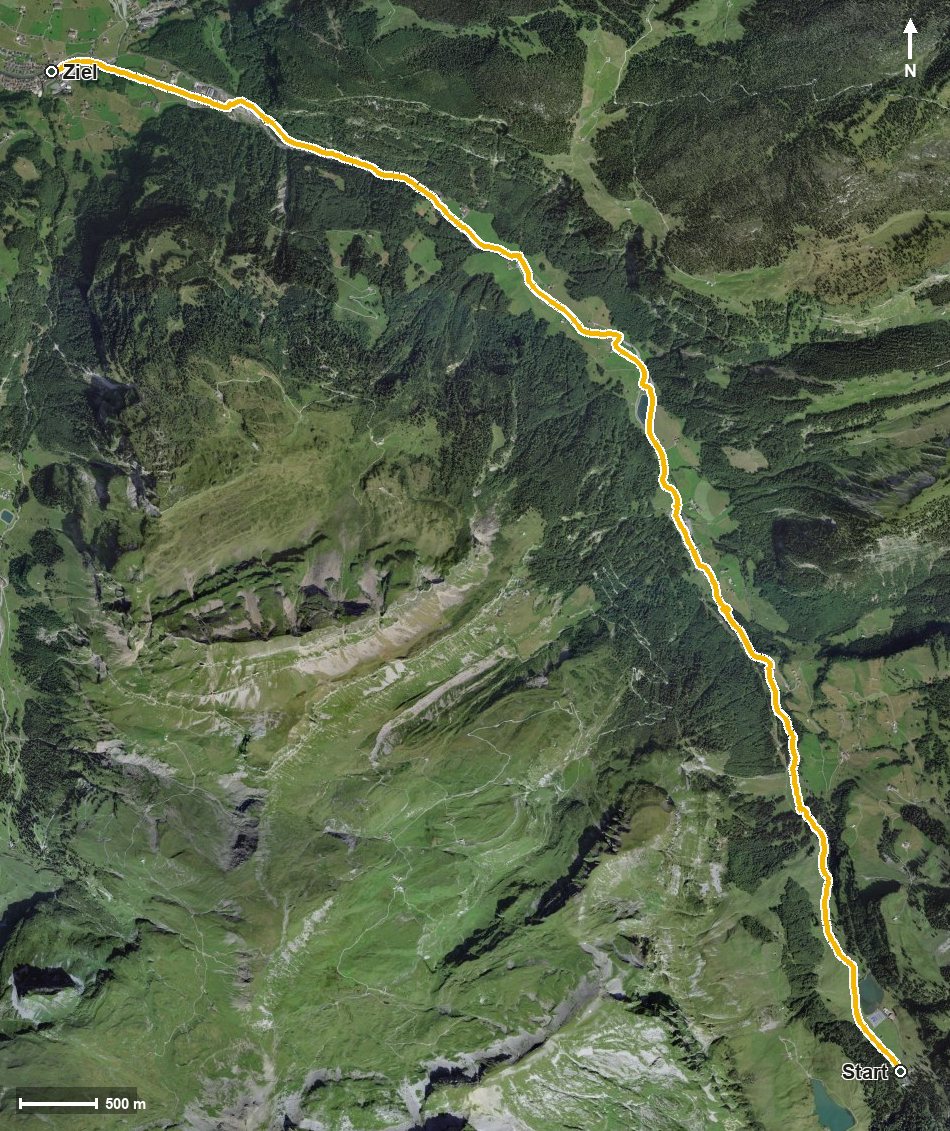
10.1 kilometres with a mere 22 metres of ascent: this walk leads from the Sahli in the Bisistal at 1,146 metres down the valley all the way to Muotathal at 628 metres. Three hours of leisurely walking with a maximum gradient of one per cent.
The route from above
Open interactive map (zoom and pan)
Elevation profile
Route description
The starting point is the Sahli in the Bisistal, which is also the highest point of the route. The path follows the Muota down the valley and crosses the Waldibach as early as kilometre 0.5.
At kilometre 2.8 Schwarzenbach is reached, where the Restaurant Schwarzenbach invites you to a break. Via the Dürrenboden, the Fadtöbeli and the Seeberg the route continues and crosses the Gigenbach at kilometre 4.1.
Via Mettlen, Bergli, Laui and Steinweid the path descends steadily. At kilometre 8.4 it passes the Brustgraben, and at kilometre 8.9 the Hüttenhotel Husky-Lodge stands beside the path. At the entrance to the Hürital the walk ends in Muotathal.
The elevation range is 519 metres; there are no climbs worth mentioning. Technically the route makes no demands and is therefore suitable for families too. It can be walked from May to October.
Grading
Good to know
Getting there / public transport
By public transport into the Bisistal to the Sahli stop. Current timetable at sbb.ch.
Food and drink
Restaurant Schwarzenbach at kilometre 3.0 and Hüttenhotel Husky-Lodge at kilometre 8.9.
Best time of year
Recommended: May, Jun, Jul, Aug, Sep, Oct