From Muotathal over the Wannentritt to Morschach
975 metres of ascent in a single, almost uninterrupted climb: from Muotathal at 641 metres this route leads up to 1,620 metres and across to Morschach. A challenging full-day tour for experienced mountain walkers with a head for heights.
The route from above
Open interactive map (zoom and pan)
Elevation profile
Route description
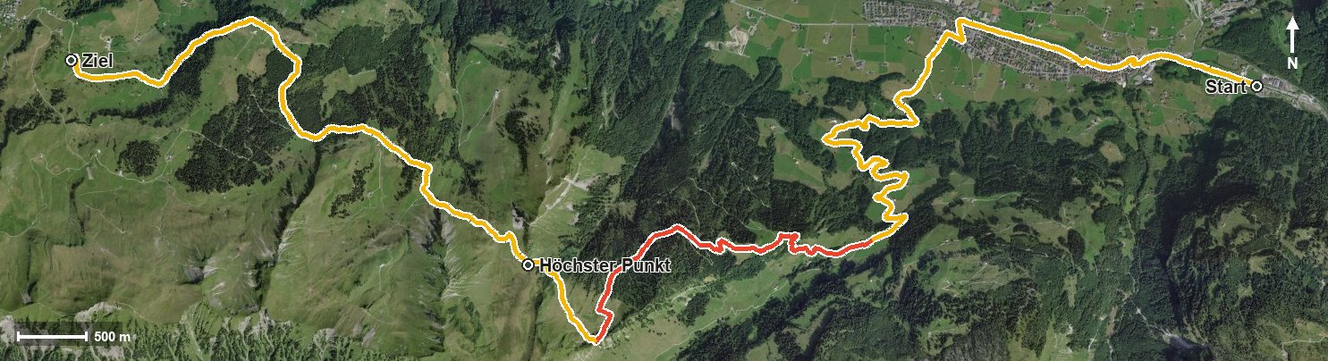
The starting point is Muotathal at 641 metres, where the path follows the Muota into the Hürital. Via Hinterthal and the Bürgelibach the long climb begins from kilometre 2.8; it does not let up until kilometre 9.6 and overcomes 975 metres of ascent.
On the way the route crosses the Helltobel, passes the Hellberg at kilometre 5.8 and reaches the highest point at 1,620 metres via the Wannen and the Rambachtobel at kilometre 10.4. The rest of the route leads with moderate ups and downs across to Morschach at 1,346 metres; shortly before the finish the Tröliger Bach is crossed.
The steepest passage lies at kilometre 6.8 and reaches around 29 per cent. Several sections require a sure step and a head for heights; sturdy footwear is essential. With 1,013 metres between the lowest and highest points, the tour is one of the biggest climbs in the collection.
The hike is recommended from June to October. No refreshment stop is recorded along the route, so provisions and plenty to drink belong in the rucksack. As the start and finish are far apart, the return journey should be planned in advance.
Grading
Good to know
Getting there / public transport
By public transport to Muotathal. Current timetable at sbb.ch.
Food and drink
No refreshment stop is recorded along the route. Take provisions for the whole day; there are restaurants in Muotathal and in Morschach at the finish.
Best time of year
Recommended: Jun, Jul, Aug, Sep, Oct