From Illgau down to Muotathal
A short valley link: 5.8 kilometres from Illgau at 811 metres down to Muotathal at 641 metres. With 146 metres of ascent and two hours of walking, a manageable stage that works well as part of a longer tour.
The route from above
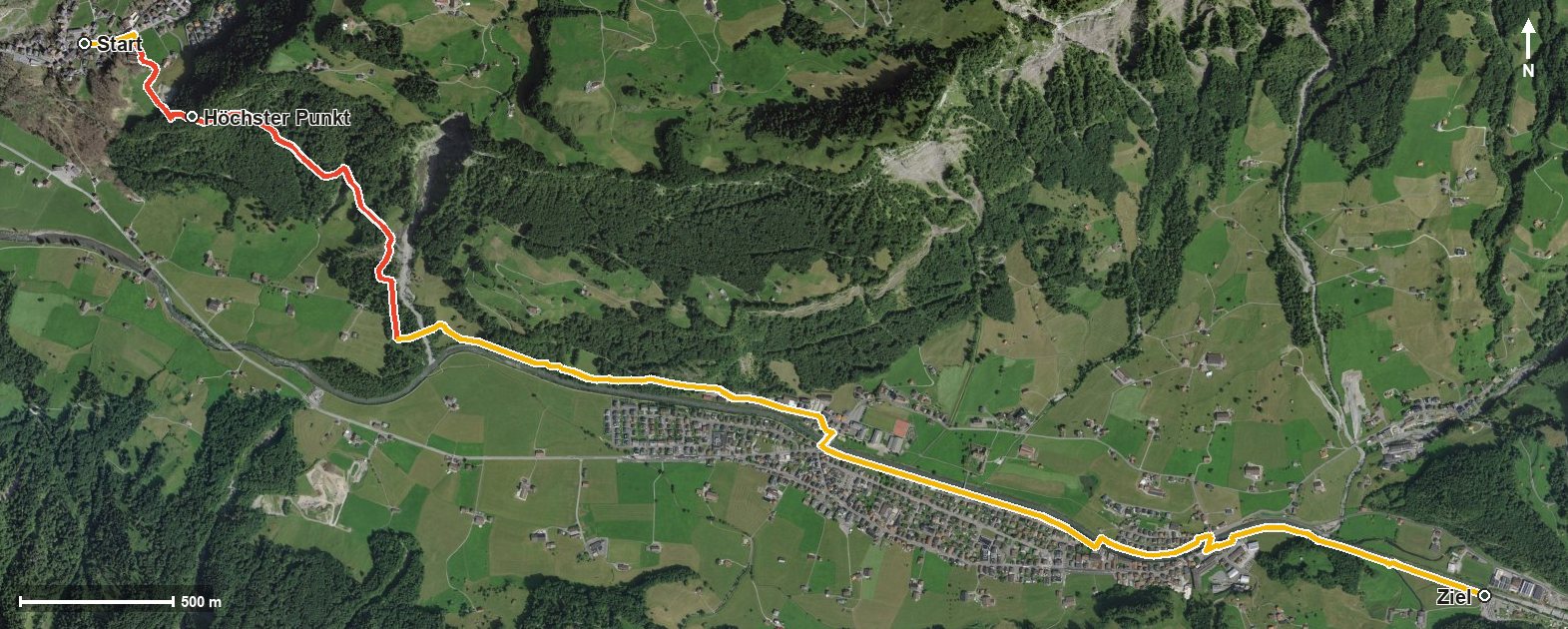
Open interactive map (zoom and pan)
Elevation profile
Route description
The starting point is Illgau, where the path crosses the Bettbach straight away. At kilometre 0.6 the highest point is already reached at 881 metres, after which the route descends.
After the Mettelbach the path crosses the Muota at kilometre 2.1 and reaches Muotathal at kilometre 2.8. Via Hinterthal it continues into the Hürital and towards the Bisistal, where it crosses the Starzlenbach at kilometre 5.3.
The lowest point lies at 598 metres; the elevation range is 283 metres. The steepest section is twelve per cent, right at the beginning. Some sections call for a sure step.
No refreshment stop is recorded along the route, but food and drink are available in Muotathal. The tour is recommended from May to September.
Grading
Good to know
Getting there / public transport
By public transport to Illgau. Current timetable at sbb.ch.
Food and drink
No refreshment stop is recorded along the route. Food and drink are available in Illgau at the start and in Muotathal at the finish.
Best time of year
Recommended: May, Jun, Jul, Aug, Sep