Loop from Neuseewen over the Roggenegg
469 metres of ascent in a single push: this loop starts at Neuseewen in Oberiberg at 1,086 metres and leads over the Roggenegg to 1,572 metres. 10.5 kilometres, three and a half hours and an elevation range of 486 metres.
The route from above
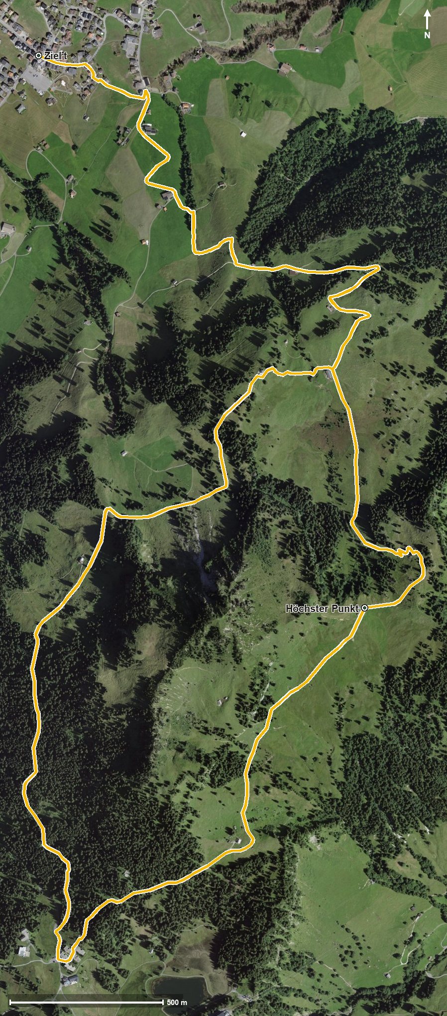
Open interactive map (zoom and pan)
Elevation profile
Route description
The starting point is Neuseewen in Oberiberg. The climb begins at once and gains around 469 metres by kilometre 3.4, on the way through the Leetobel and across the Tubenmoosbach. The steepest passage is 21 per cent at kilometre 0.9.
After the Loch the path crosses the Roggenegg at kilometre 3.6, where the highest point of the loop also lies at 1,572 metres.
The way back leads via the Guggerenloch and reaches the Fuederegg at kilometre 5.3. At kilometre 7.8 the Bergbeizli Adlerhorst invites you to a break, the only refreshment stop recorded along the route.
Technically the path remains straightforward, but the continuous climb calls for a certain basic fitness. The loop can be walked from May to October. Food and drink are also available in Oberiberg at the start and finish.
Grading
Good to know
Getting there / public transport
By public transport to Oberiberg, Neuseewen. Current timetable at sbb.ch.
Food and drink
Bergbeizli Adlerhorst at kilometre 7.8. Further food and drink are available in Oberiberg at the start and finish.
Best time of year
Recommended: May, Jun, Jul, Aug, Sep, Oct