Up the Hochflue from Obergschwend
687 metres of difference in only 6.4 kilometres and a passage with a 41 per cent gradient: the loop from Obergschwend up the Hochflue is the most demanding way up this summit above Lake Lucerne. It is suitable only for mountain walkers with alpine experience and a head for heights.
The route from above
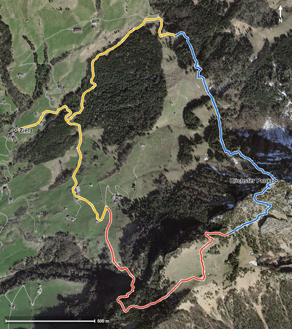
Open interactive map (zoom and pan)
Elevation profile
Route description
The loop starts in Gersau at Ober Gschwend at 1,011 metres. Via Käppeliberg and Schwändi the path passes the Röhrlisbach and climbs steadily from kilometre 0.6: by kilometre 3.0 there are 425 metres of ascent to overcome, followed by a good 200 metres more through the Chrummtobel and the Sulztal to the summit of the Hochflue at 1,698 metres at kilometre 3.6.
The descent leads via the Gätterlipass at kilometre 5.1 back to the starting point. On the way the tour switches between the municipalities of Gersau and Ingenbohl.
Some sections make considerably higher demands than an ordinary mountain hike. Alpine experience, a sure step, an absolute head for heights and a reliable sense of direction are essential. The steepest passage lies at kilometre 3.1 and reaches around 41 per cent.
At the Gätterlipass stands the Restaurant Gätterlipass, the only refreshment stop recorded along the loop. The tour is recommended from May to October. With residual snow or in wet conditions the tricky sections are considerably more demanding.
Alpine hiking trail: alpine experience required
This route includes sections of alpine hiking trail. Only for experienced, sure-footed mountain walkers with a head for heights.
Grading
Good to know
Getting there / public transport
By public transport to the stop «Gersau, Ober Gschwend». The Obergschwend–Rigi Burggeist cable car is also at the starting point. Current timetable at sbb.ch.
Food and drink
Restaurant Gätterlipass at the Gätterlipass (kilometre 5.1), the only refreshment stop recorded along the route.
Best time of year
Recommended: May, Jun, Jul, Aug, Sep, Oct