A shorter loop from the Eigeliswald over the Wolfsbüel
10.2 kilometres with only 375 metres of ascent: this loop from the Eigeliswald at 1,374 metres stays on the heights throughout and has an elevation range of a mere 313 metres. Three hours in the karst country above the Bisistal.
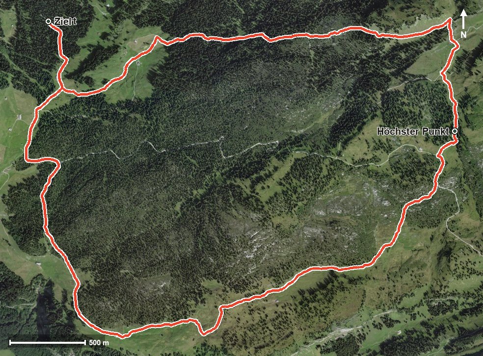
The route from above
Open interactive map (zoom and pan)
Elevation profile
Route description
The starting point is the Eigeliswald at 1,374 metres, which is also the lowest point of the loop. The path passes above the Bisistal; from kilometre 1.3 a climb of 195 metres begins.
At kilometre 3.3 the Chalbertal is reached; the steepest section is 15 per cent at kilometre 3.2. After a short stretch in between, another 67 metres of ascent follow from kilometre 5.0.
At kilometre 5.9 the highest point of the loop is reached at 1,687 metres. Via the Wolfsbüel and the Stägen the path descends back to the starting point.
Several sections require a sure step and sturdy footwear; the terrain in the karst area is rough. No refreshment stop is recorded along the route, so provisions belong in the rucksack. The loop can be walked from May to October.
Grading
Good to know
Getting there / public transport
Travel into the Muotatal and on to the Eigeliswald. Current timetable at sbb.ch.
Food and drink
No refreshment stop is recorded along the loop. Provisions and plenty of water belong in the rucksack.
Best time of year
Recommended: May, Jun, Jul, Aug, Sep, Oct