Along the Obersee from Pfäffikon to Lachen
7.3 kilometres with an elevation range of just 13 metres: this lakeside walk links Pfäffikon at 410 metres via Altendorf with Lachen. Two hours, open all year round and the flattest route on the Obersee.
The route from above
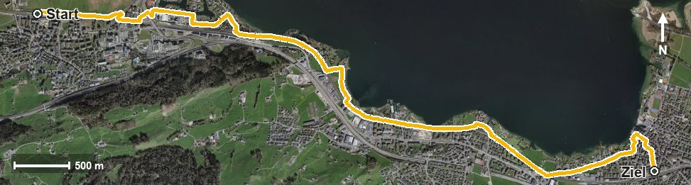
Open interactive map (zoom and pan)
Elevation profile
Route description
The starting point is Pfäffikon SZ. The path follows the shore of the Obersee and reaches Altendorf at kilometre 3.0, where it crosses the Talbach at kilometre 3.3.
At kilometre 1.1 the highest point of the route is reached at 419 metres; the lowest lies at 406 metres. The steepest section is two per cent at kilometre 2.5.
Lachen is reached at kilometre 6.3; the walk ends at 415 metres. There are no climbs worth mentioning.
Technically the route makes no demands and suits all ages, including with a pushchair. Because it is open all year round, it is an option in any season. Every place along the route is served by rail, which makes planning easier.
Grading
Good to know
Getting there / public transport
By public transport to Pfäffikon SZ. Current timetable at sbb.ch.
Food and drink
No refreshment stop is recorded along the route. Food and drink are available in Pfäffikon, in Altendorf at kilometre 3.0 and in Lachen at the finish.
Best time of year
Recommended: Jan, Feb, Mar, Apr, May, Jun, Jul, Aug, Sep, Oct, Nov, Dec