From the Rotenflue over the Ibergeregg to Illgau
A gentle high-level hike with a cable car at either end: 7.6 kilometres from the Rotenflue at 1,571 metres over two passes and down to Illgau. Only 140 metres of ascent and a maximum gradient of eight per cent.
The route from above
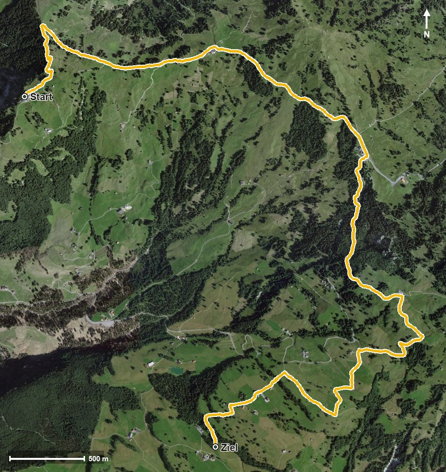
Open interactive map (zoom and pan)
Elevation profile
Route description
The starting point is the Rotenflue top station, which is also the highest point of the route. After 800 metres the path crosses the Stäglerenegg and then runs high above the Alptal and the Zwäckentobel.
Via Zwäcken and the Chloterlibach the route reaches the Ibergeregg at kilometre 3.3. It then crosses the Hundsbühlbach, the Chlingentobelbach and the Hasentobelbach and continues through the Hasentobel.
Via the Schlössli and Oberberg at kilometre 6.8 the path drops to Steinweid and ends at Illgau at 1,178 metres. There are 393 metres between the highest and lowest points, with no counter-ascents worth mentioning.
Technically the hike makes no particular demands. Refreshment stops are the Restaurant Gipfelstubli at the start and the Restaurant Passhöhe Ibergeregg at kilometre 3.3. The tour is recommended from May to October.
Grading
Good to know
Getting there / public transport
By public transport to Rickenbach, then the Rotenflue cable car to the top station. Current timetable at sbb.ch.
Food and drink
Restaurant Gipfelstubli at the start and Restaurant Passhöhe Ibergeregg at kilometre 3.3.
Best time of year
Recommended: May, Jun, Jul, Aug, Sep, Oct