A short loop from Lauerz via the Husmatt
Three kilometres, one hour and 140 metres of ascent: this short loop from Lauerz at 448 metres climbs to 591 metres and, according to the accessibility data, is open all year round. The elevation range is 143 metres.
The route from above
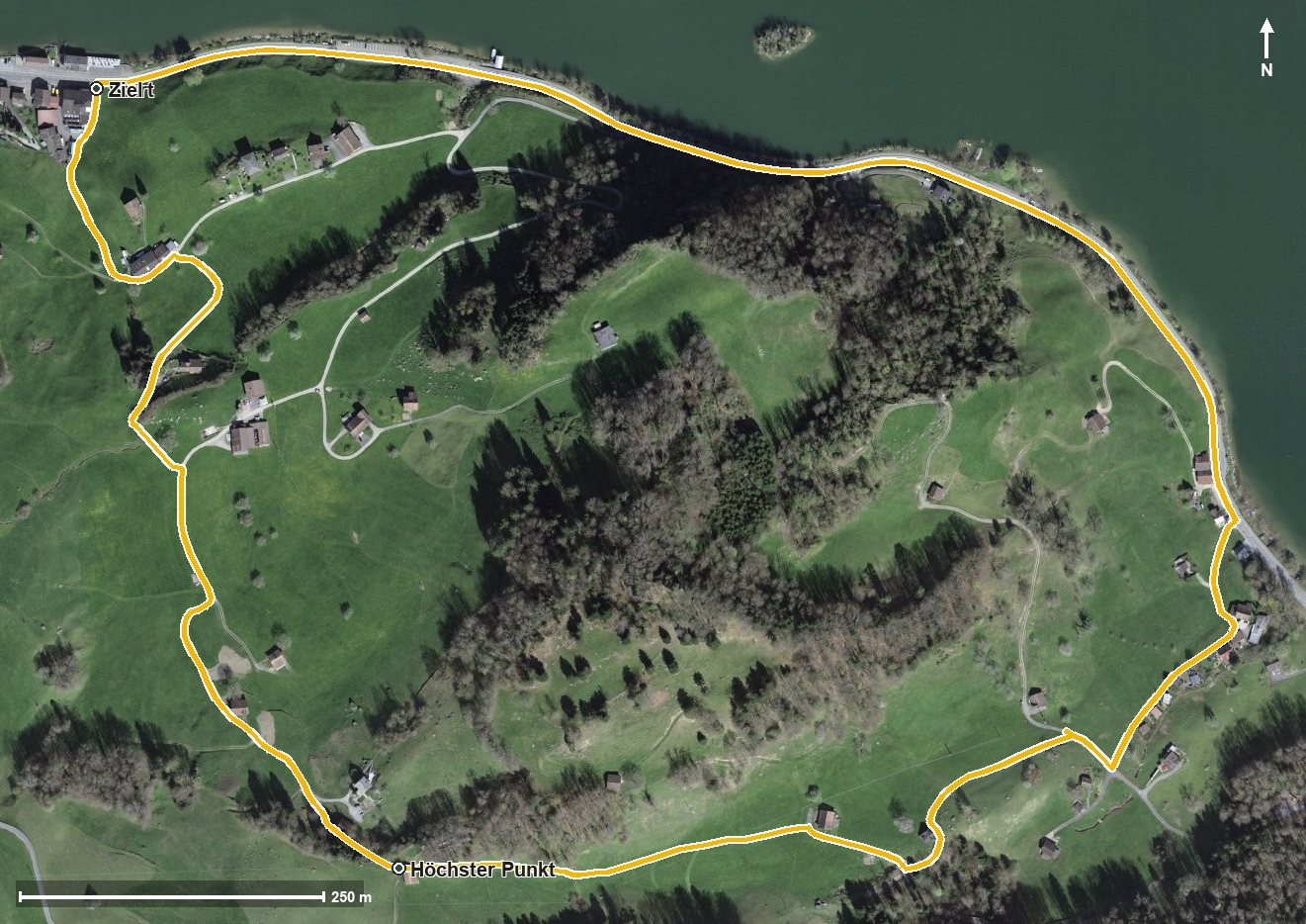
Open interactive map (zoom and pan)
Elevation profile
Route description
The starting point is Lauerz at the Seegütli on Lake Lauerz. The climb begins at once and gains 137 metres over the first 900 metres; the steepest section is 17 per cent at kilometre 0.4.
At kilometre 0.9 the highest point of the loop is already reached at 591 metres. The path then continues via Otten and the Ottenthal.
At kilometre 1.7 the Husmatt is reached, after which the path descends back to the lakeshore. The lowest point lies at the start and finish at 448 metres.
Technically the hike makes no particular demands. Because it is open all year round, it is an option in any season. Food and drink are available in Lauerz at the start and finish.
Grading
Good to know
Getting there / public transport
By public transport to Lauerz, Seegütli. Current timetable at sbb.ch.
Food and drink
No refreshment stop is recorded along the route. Food and drink are available in Lauerz at the start and finish.
Best time of year
Recommended: Jan, Feb, Mar, Apr, May, Jun, Jul, Aug, Sep, Oct, Nov, Dec