Loop from Lauerz up to Rigi Scheidegg
1,201 metres from the lakeshore to the summit and back: this loop from Lauerz at 455 metres climbs in a single long ascent to the Scheidegg and returns over the Gätterlipass. 11.5 kilometres, six hours and one of the largest elevation ranges in the collection.
The route from above
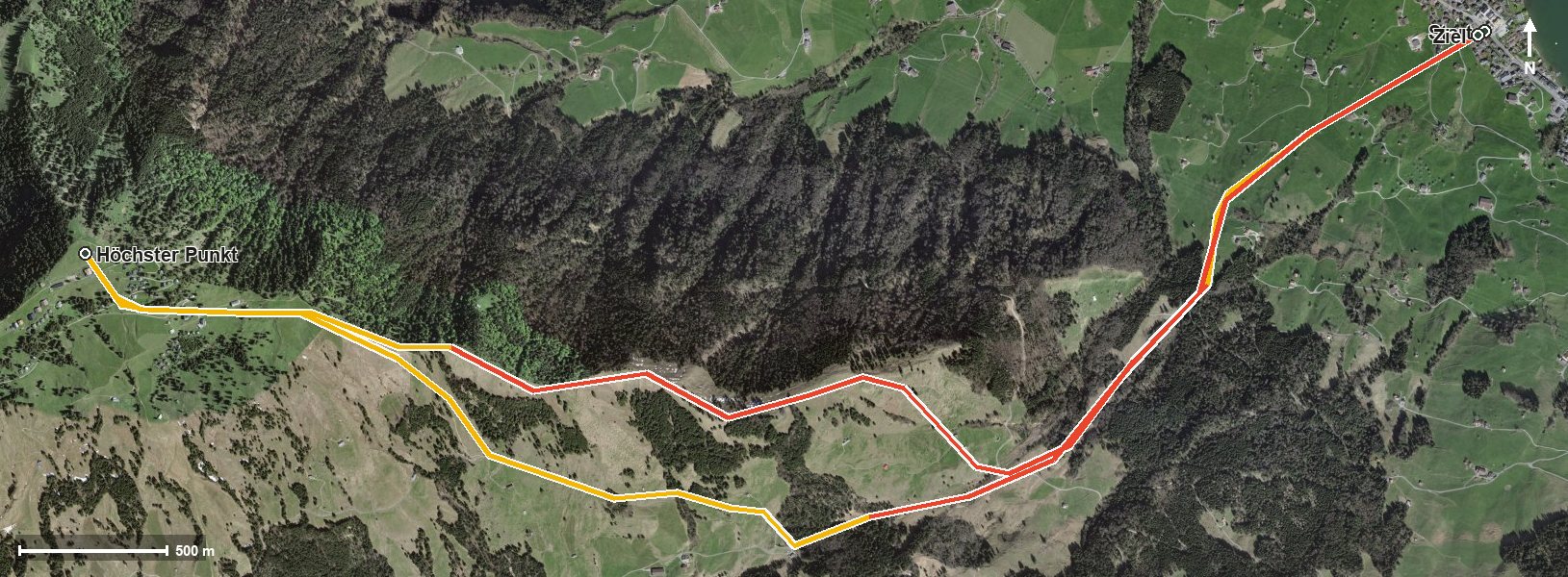
Open interactive map (zoom and pan)
Elevation profile
Route description
The starting point is Lauerz at 455 metres. The climb begins at once and does not ease until kilometre 5.7: 990 metres of ascent in one go, crossing the Teubertsbach at kilometre 2.1 on the way. The steepest passage lies at kilometre 2.4 and reaches around 34 per cent.
Via Rigi Burggeist at kilometre 5.1, the Scheidegg is reached at kilometre 5.7 at 1,656 metres, the highest point of the loop. There are 1,201 metres between the lowest and highest points.
The way back leads through the Löcher and over the Gätterlipass at kilometre 8.5, crosses the Teuffibach and then descends back to Lauerz. Some sections require a sure step and a head for heights; sturdy footwear is essential.
No refreshment stop is recorded along the route, so provisions for the whole day belong in the rucksack. The loop crosses the municipal boundary from Lauerz into Gersau.
Grading
Good to know
Getting there / public transport
By public transport to Lauerz; the hike starts at the Waage. Current timetable at sbb.ch.
Food and drink
No refreshment stop is recorded along the route. Take provisions for the whole day; there are restaurants in Lauerz at the starting point.
Best time of year
Recommended: Jan, Feb, Mar, Dec