From Goldau to Lake Lauerz
A short, flat link: 4.4 kilometres from Goldau station at 506 metres down to Lauerz on the lake. With 33 metres of ascent, an hour of walking and a maximum gradient of two per cent, one of the easiest routes in the collection.
The route from above
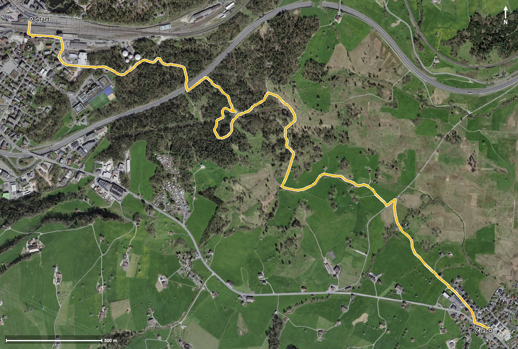
Open interactive map (zoom and pan)
Elevation profile
Route description
The starting point is Goldau station, which makes getting there particularly easy. At kilometre 0.6 the highest point is already reached at 519 metres; after that the terrain stays practically level.
The path crosses the Goldbach at kilometre 0.8, the Chlausenbach at kilometre 2.9 and the Teubertsbach at kilometre 3.7. Via Auli the route reaches Lauerz at kilometre 4.2 at 455 metres.
There are 64 metres between the lowest and highest points. There are no climbs worth mentioning; technically the walk makes no demands and is therefore suitable for families with children too.
The tour is recommended from April to October. It crosses the municipal boundary from Arth into Lauerz, where food and drink are available.
Grading
Good to know
Getting there / public transport
By public transport to Arth-Goldau; the walk starts right at the station. Current timetable at sbb.ch.
Food and drink
No refreshment stop is recorded along the route. Food and drink are available in Goldau at the start and in Lauerz at the finish.
Best time of year
Recommended: Apr, May, Jun, Jul, Aug, Sep, Oct