Around the lake in the Wägital from Innerthal
13 kilometres with a mere 52 metres of ascent: this loop from Innerthal at 906 metres leads around the Wägitalersee and has an elevation range of just 37 metres. Three hours without any climb worth mentioning, right by the water.
The route from above
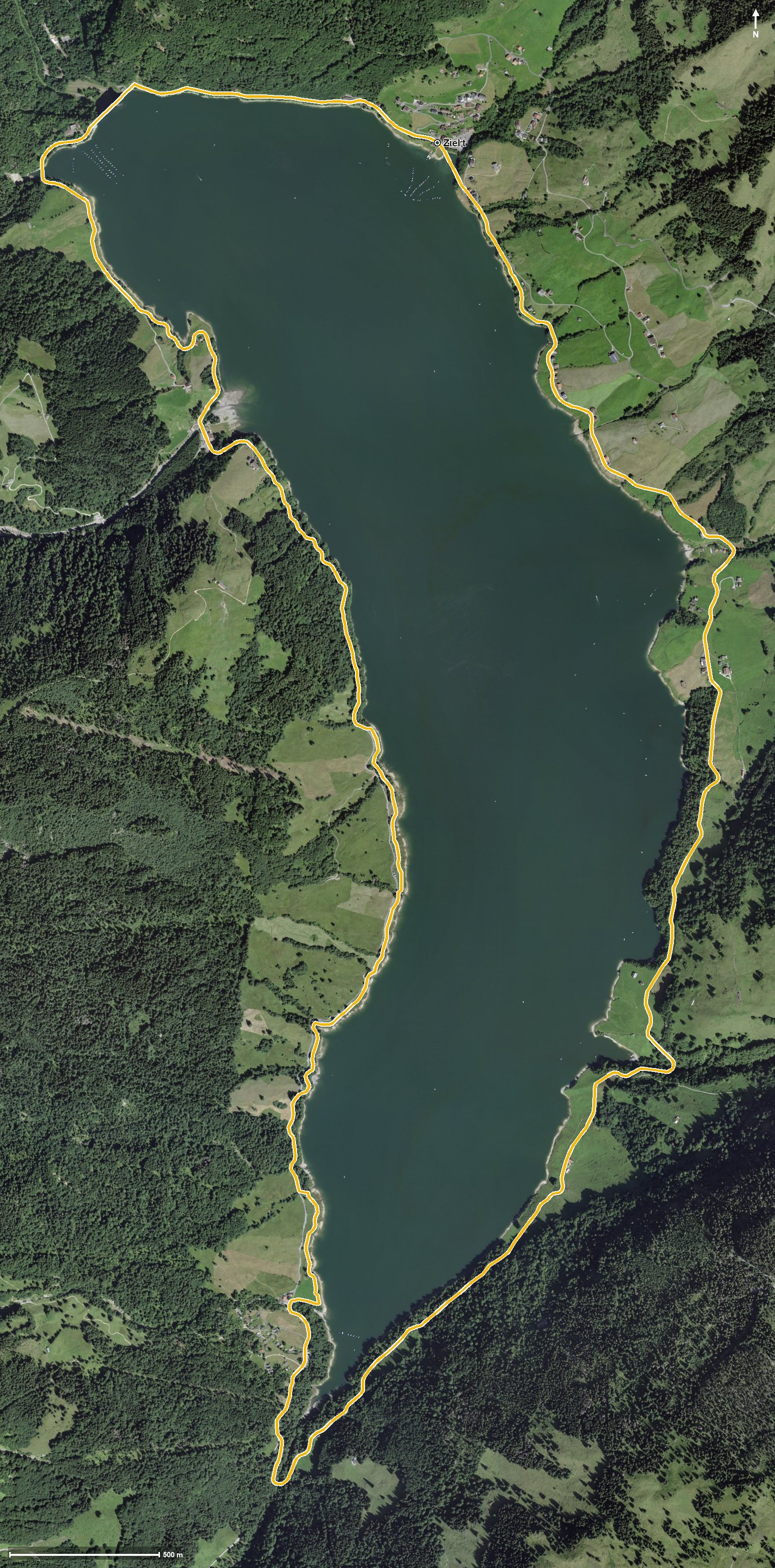
Open interactive map (zoom and pan)
Elevation profile
Route description
The starting point is Innerthal at the Gemeindeplatz, at the far end of the lake. The path leads via the Unterer Heuboden, the Untere Sennegg, the Unterer Brand and Rüti along the shore.
After crossing the Lauelibach, the highest point is reached at kilometre 2.2 at 932 metres. At kilometre 2.3 lie Blattli and Oberhof, where the Restaurant Oberhof invites you to a break.
The path crosses the Ziggenbach at kilometre 3.8, passes the Fläschloch and crosses the Aberenbach at kilometre 5.8 and the Fläschlibach at kilometre 6.6. Across the Wägitaler Aa the loop closes back at the starting point.
The lowest point lies at 895 metres; the steepest section is three per cent. Technically the walk makes no demands and is therefore suitable for families too, but the 13 kilometres call for a little endurance. The loop can be walked from May to October.
Grading
Good to know
Getting there / public transport
By public transport into the Wägital to Innerthal, Gemeindeplatz. Current timetable at sbb.ch.
Food and drink
Restaurant Oberhof at kilometre 2.3. Further food and drink are available in Innerthal at the start and finish.
Best time of year
Recommended: May, Jun, Jul, Aug, Sep, Oct