From Morschach down to Brunnen
Just under three kilometres, one hour and 270 metres of descent: this short link leads from Morschach down to Brunnen on the lakeshore. A leisurely route that works well as the end of a longer tour or as a stroll in its own right.
The route from above
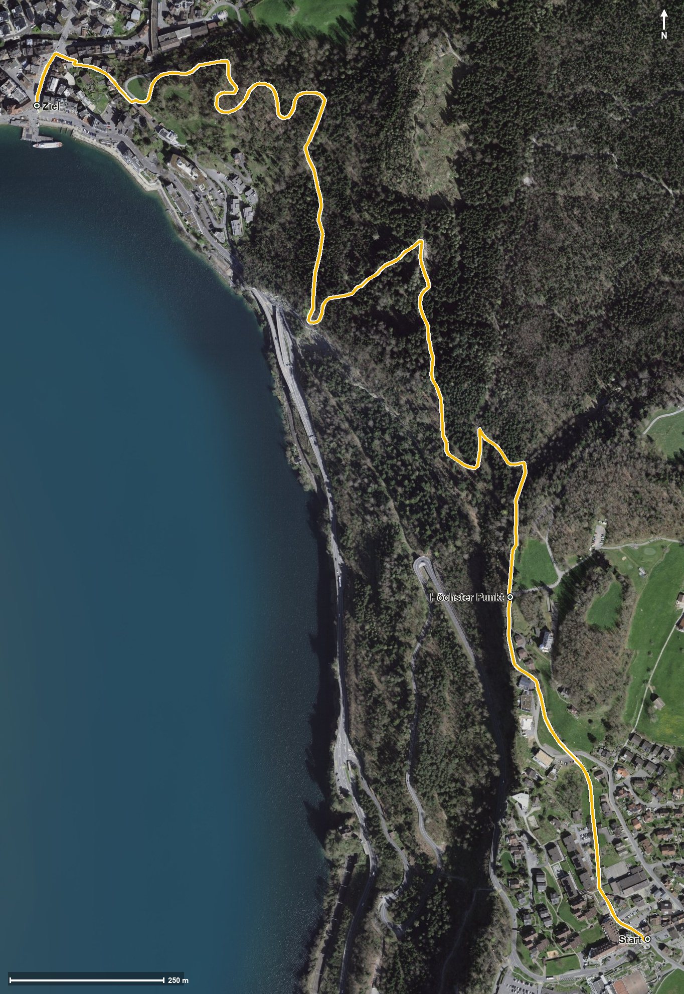
Open interactive map (zoom and pan)
Elevation profile
Route description
The starting point is Morschach at 645 metres. The path first climbs 60 metres and reaches the highest point at kilometre 0.6 at 707 metres; after that it is downhill all the way.
At kilometre 2.6 Brunnen is reached; the walk ends at 434 metres by the lake. There are 273 metres between the highest and lowest points. The steepest section is around ten per cent, so the route makes no technical demands.
The tour is recommended from May to October. It crosses the municipal boundary from Morschach into Ingenbohl and ends in Brunnen, a place with good rail and boat connections.
Grading
Good to know
Getting there / public transport
By public transport to Morschach. Current timetable at sbb.ch.
Food and drink
No refreshment stop is recorded along the short route. Food and drink are available in Morschach at the start and in Brunnen at the finish.
Best time of year
Recommended: May, Jun, Jul, Aug, Sep, Oct