From Rigi Kulm down to Chräbel
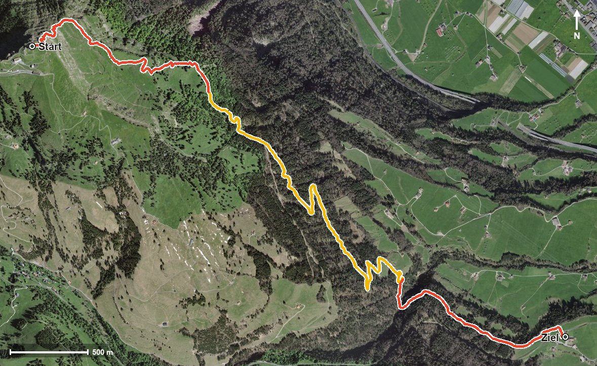
1,059 metres of descent in 6.3 kilometres, without a single counter-climb: this route leads from Rigi Kulm at 1,796 metres down to Chräbel at 759 metres. Two hours that are above all a test for the knees.
The route from above
Open interactive map (zoom and pan)
Elevation profile
Route description
The starting point is Rigi Kulm, which is also the highest point of the route. The path drops away immediately and crosses the Trehbach as early as kilometre 0.8.
At kilometre 4.3 Dächli is reached, where the Berggasthaus Rigi Dächli invites you to a break, the only refreshment stop recorded along the route. The path then crosses the Rigiaa at kilometre 5.0.
At kilometre 6.3 the hike ends in Chräbel at the valley station of the Scheidegg railway. The elevation range is 1,038 metres; there are no climbs worth mentioning.
Some sections require a sure step and sturdy footwear. The continuous descent of more than a thousand metres in only six kilometres is hard on the knees; walking poles are a sensible aid. The tour can be walked from June to October.
Grading
Good to know
Getting there / public transport
By public transport to Goldau or Vitznau, then the Rigi railway up to Rigi Kulm. Current timetable at sbb.ch.
Food and drink
Berggasthaus Rigi Dächli at kilometre 4.3, the only refreshment stop recorded on the route.
Best time of year
Recommended: Jun, Jul, Aug, Sep, Oct