Across the canton on foot
On the region's hiking trails
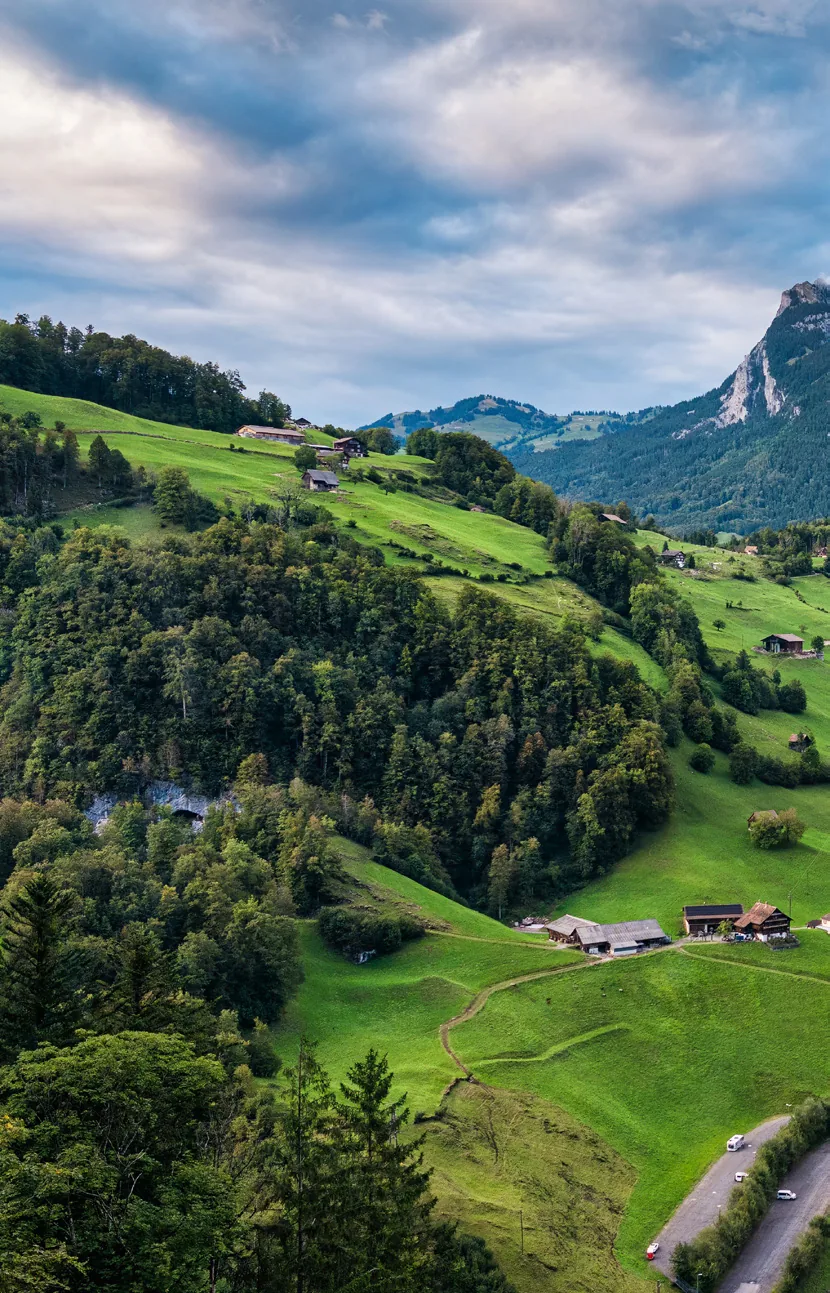
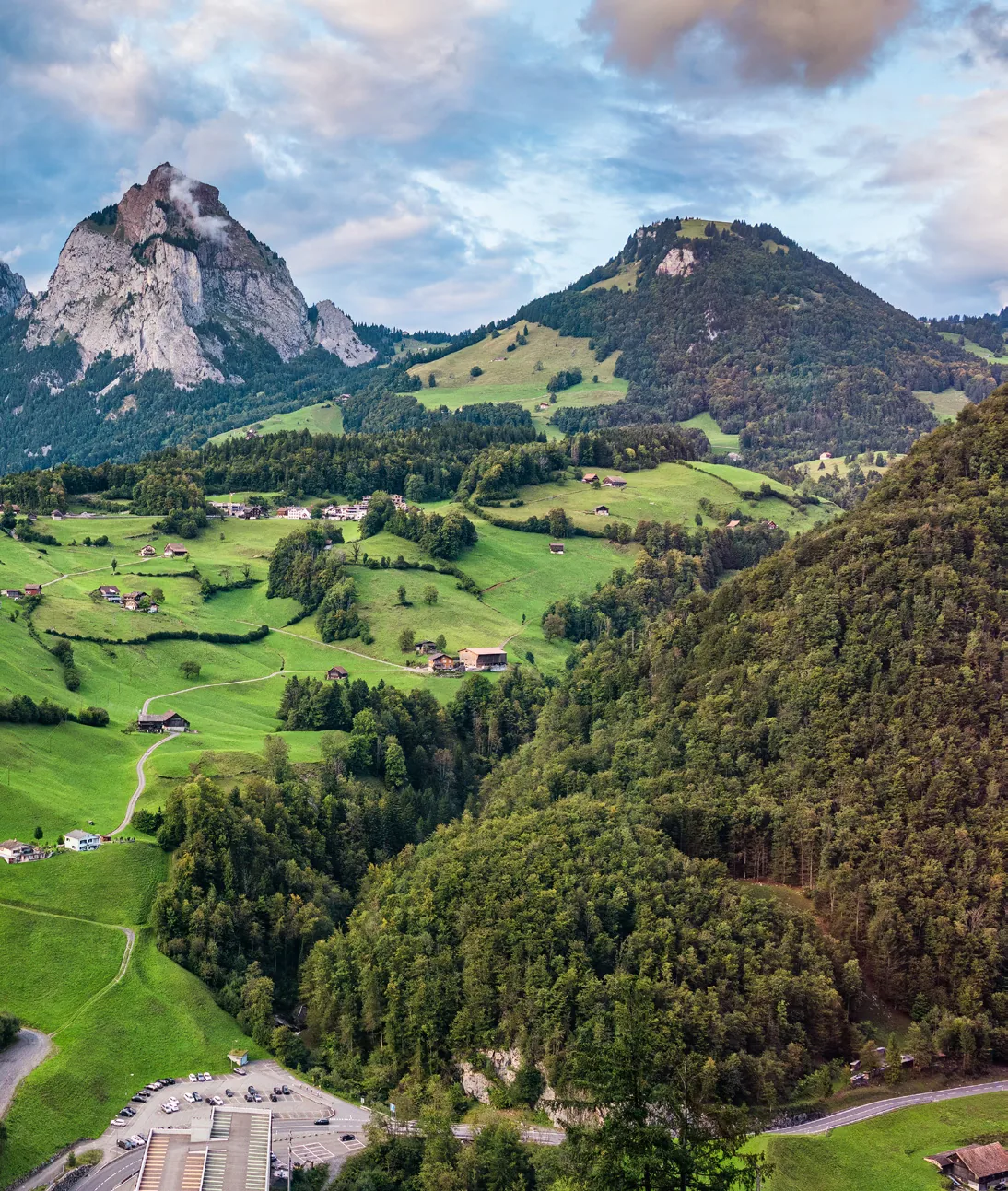
There are countries with higher mountains, wilder landscapes and more spectacular views. But hardly any country in the world has developed its network of hiking trails as consistently, as completely and as carefully as Switzerland. Around 65,000 kilometres of marked trails criss-cross the country, from the heights of the Jura to the edge of the glaciers, from the shores of Lake Geneva to the valleys of the Canton of Schwyz.
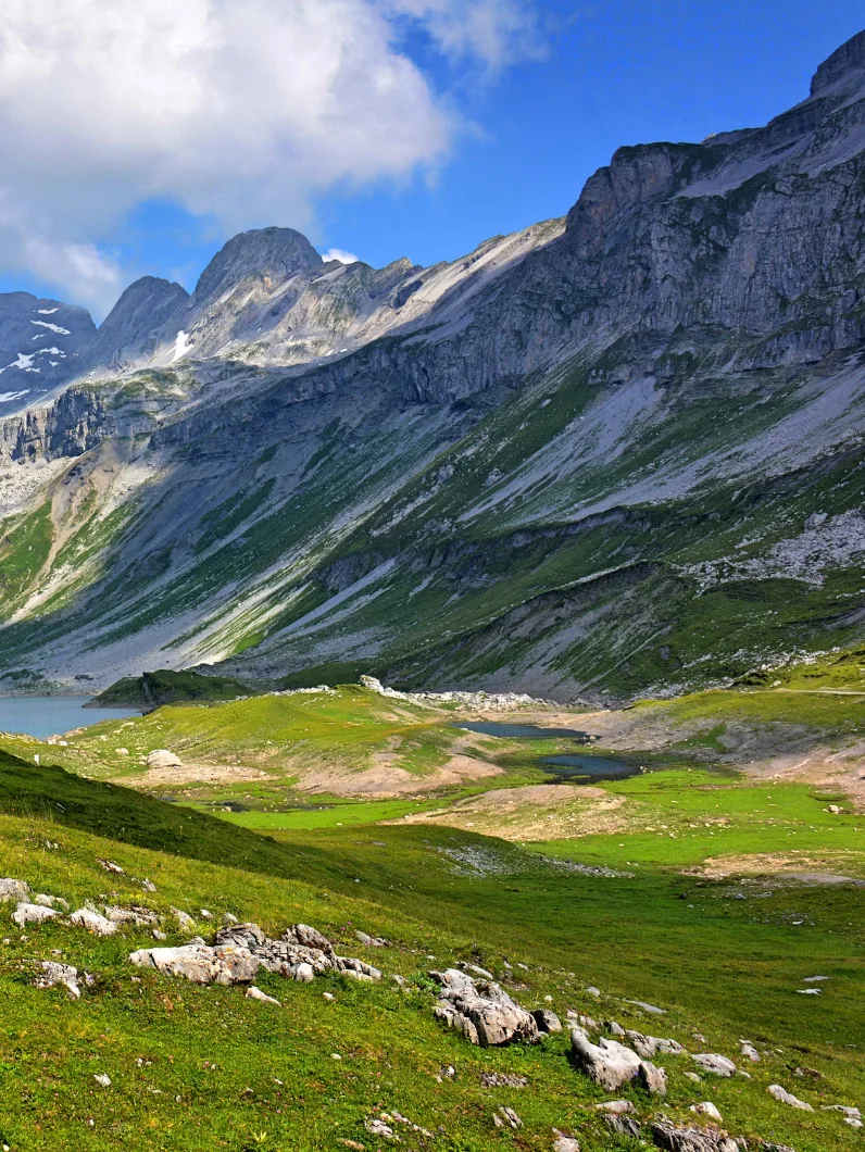
In the Canton of Schwyz this network extends over 1,700 kilometres, on a cantonal area of 908 square kilometres, almost two kilometres of hiking trail per square kilometre. Among them are more than 520 kilometres of mountain hiking trails that wind through a landscape shaped by 24 lakes and steep flanks.
A network that has grown
The Swiss hiking network is not the product of a single plan but the result of decades of development, maintenance and quiet voluntary work. The first national basis emerged in the 1930s; the legal anchoring followed in 1985 with the Federal Act on Footpaths and Hiking Trails.
What seems a matter of course is in practice a permanent task. In the Canton of Schwyz alone, around 40 local officers in the 30 municipalities and districts put in almost 4,000 hours of voluntary work a year to maintain the trails.
The language of the signposts
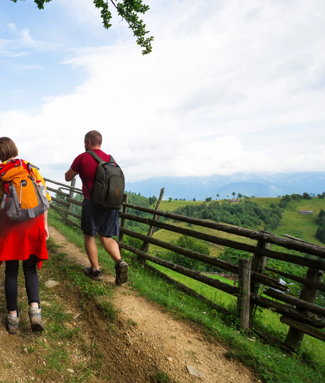
Anyone who hikes in Switzerland quickly learns a new visual language. Yellow signposts mark well-made routes suitable for everyone. White-red-white striped markings indicate mountain hiking trails that require a sure step and suitable footwear. White-blue-white, finally, marks alpine routes for experienced mountaineers.
This three-level classification is uniform throughout Switzerland and widely respected internationally. Combined with the precision of the Swiss national map and the SchweizMobil platform, it produces a system regarded as a reference worldwide.
Hiking to the rhythm of the seasons
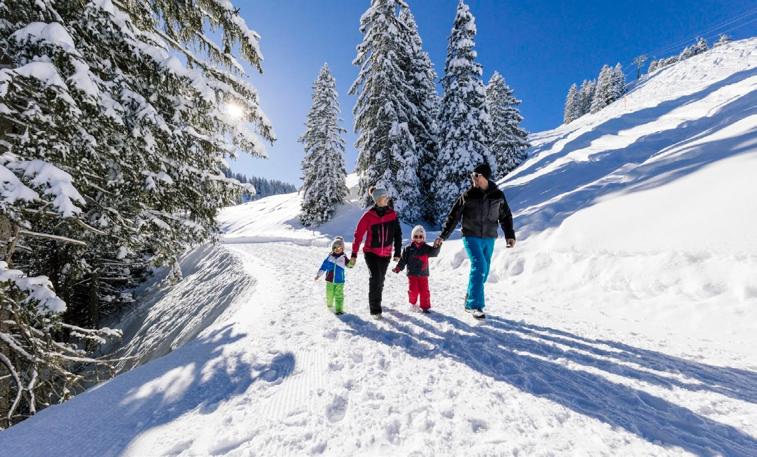
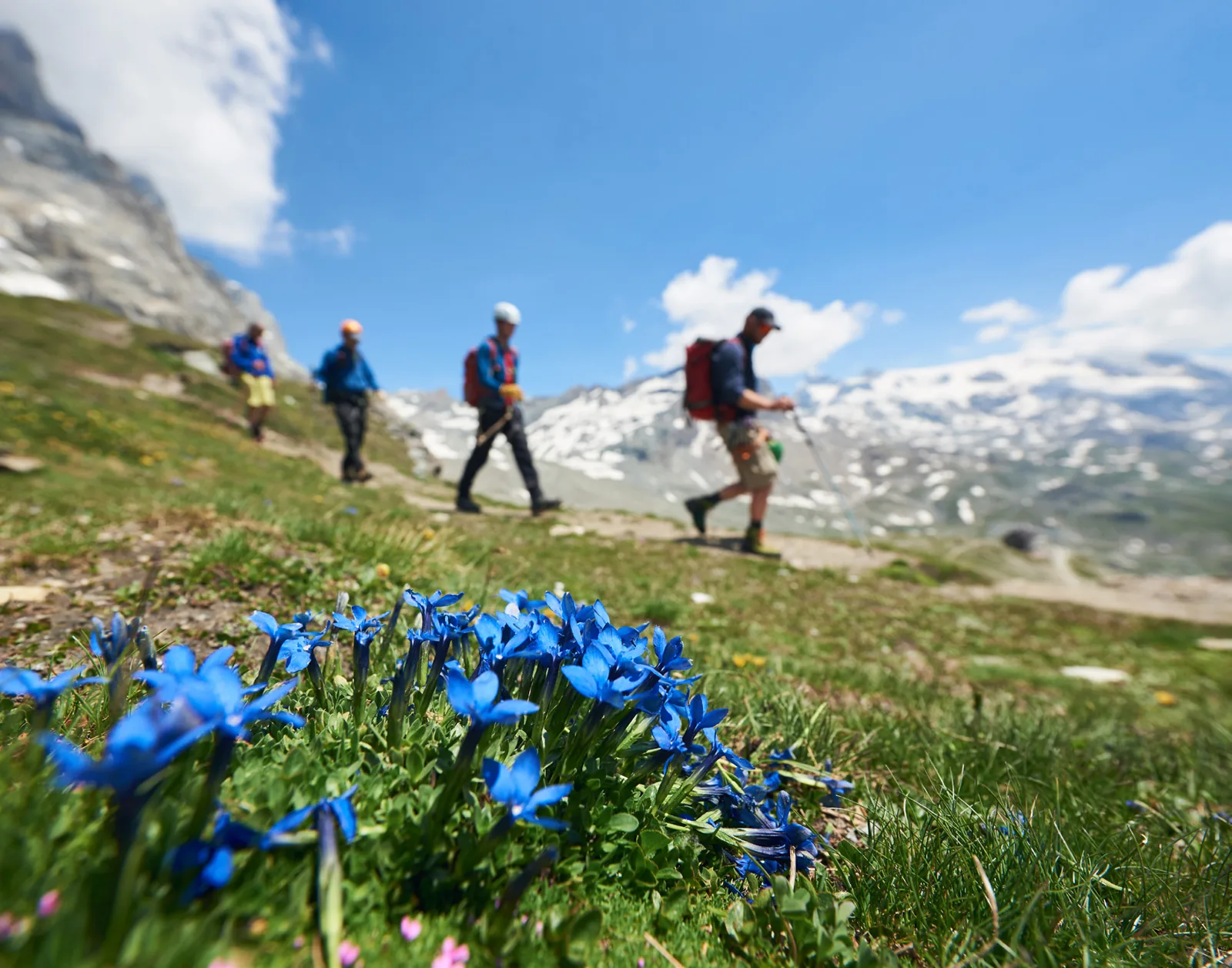
The Canton of Schwyz has something to offer in every season. In spring the lower paths open first, lakeside promenades and valley slopes often from March. Summer brings the mountain trails into their best season. In autumn the deciduous forests turn colour, and for many experienced hikers September is the finest month of all for walking. In winter, finally, the network offers designated winter walking paths and snowshoe routes.
Well prepared for the trail
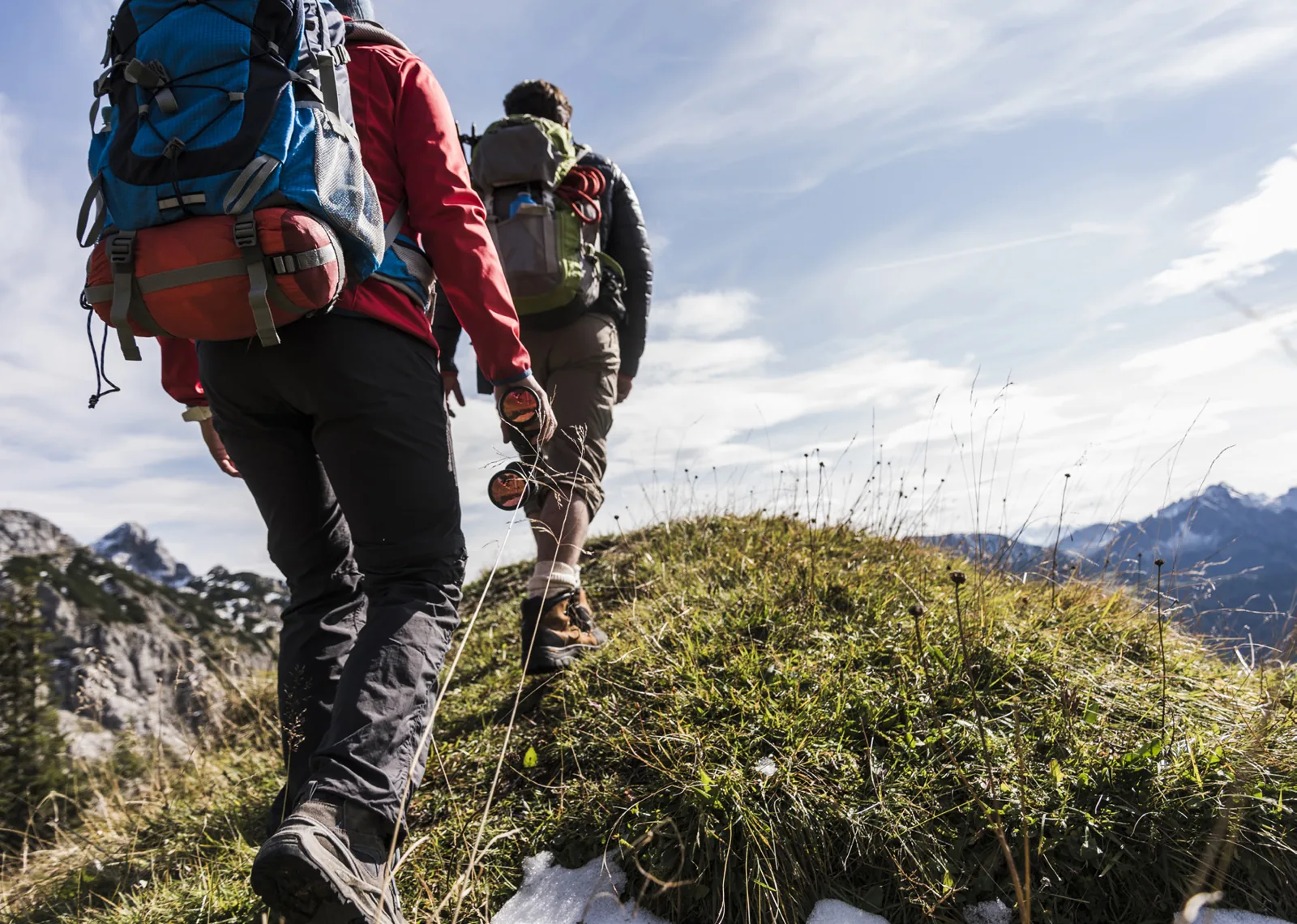
However tempting a spontaneous day's hiking sounds, good preparation pays off, especially on mountain trails. The most important points: check the weather forecast (thunderstorms in the mountains can develop quickly), match your equipment to the type of trail (sturdy footwear is a must from mountain hiking trail upwards), take water and food, and tell someone where your route leads.
1,700 kilometres of marked trails are more than an infrastructure. They are a promise: that the Canton of Schwyz can be explored on foot, safely, independently and at your own pace, from the lakeshore to the summit.